


Precinct 6, Holt County, Nebraska
About
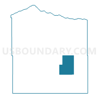
Outline

Summary
| Unique Area Identifier | 613267 |
| Name | Precinct 6 |
| County | Holt County |
| State | Nebraska |
| Area (square miles) | 95.52 |
| Land Area (square miles) | 95.51 |
| Water Area (square miles) | 0.01 |
| % of Land Area | 99.99 |
| % of Water Area | 0.01 |
| Latitude of the Internal Point | 42.34270060 |
| Longtitude of the Internal Point | -98.56366020 |
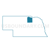
Maps

Graphs
Select a template below for downloading or customizing gragh for Precinct 6, Holt County, Nebraska


Neighbors
Neighoring Voting District (by Name) Neighboring Voting District on the Map
- Precinct 1, Holt County, NE
- Precinct 3, Holt County, NE
- Precinct 5, Holt County, NE
- Precinct 8, Holt County, NE
Top 10 Neighboring County Subdivision (by Population) Neighboring County Subdivision on the Map
- Grattan township, Holt County, NE (817)
- Ewing township, Holt County, NE (436)
- Chambers township, Holt County, NE (429)
- Inman township, Holt County, NE (308)
- Verdigris township, Holt County, NE (307)
- Golden township, Holt County, NE (115)
- McClure township, Holt County, NE (63)
- Shamrock township, Holt County, NE (40)
- Antelope township, Holt County, NE (31)
Top 10 Neighboring Place (by Population) Neighboring Place on the Map
Top 10 Neighboring Unified School District (by Population) Neighboring Unified School District on the Map
- O'Neill Public Schools, NE (5,389)
- Nebraska Unified District 1, NE (3,131)
- Ewing Public Schools, NE (773)
- Chambers Public Schools, NE (717)